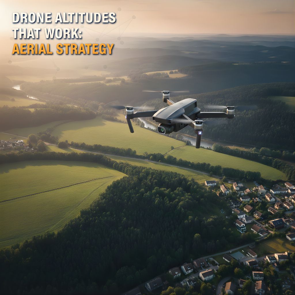
Drone Altitudes That Work: Aerial Strategy in New Mexico

Drone photos are everywhere now—but not all of them actually help a listing.
You’ve probably seen it:
One listing uses drone and looks incredible
Another uses drone and somehow makes the home feel tiny or lost
Same technology. Different strategy.
In Albuquerque, Santa Fe, Rio Rancho, Los Lunas, and nearby areas, drone can be a huge advantage for:
Showing off views and landscapes
Explaining lot size and layout
Giving buyers a better feel for where the home really sits
The secret isn’t just “getting drone shots.”
It’s choosing the right altitudes so your aerials tell the right story.
Why Altitude Is a Big Deal (Even If Buyers Don’t Know It)
Most buyers won’t say, “That drone shot is too high,” but they will react emotionally:
“Oh wow, look at that backyard.”
“I love how private that looks.”
“I can’t really tell what’s around it…”
Altitude affects all of that.
Go too low, and it feels like a slightly taller normal photo.
Go too high, and it turns into a map view instead of a home.
Hit the sweet spot, and buyers get both context and connection.
Your goal? Use height to support:
What’s special about the property
What kind of buyer you’re trying to attract
What questions buyers are trying to answer just from the photos
FAA Rules: The Unexciting Part That Actually Protects You ✈️
Before we talk about specific heights, it’s worth touching on safety and legality.
In the U.S., real estate drone work is considered commercial flying, which means:
It must be done under FAA Part 107 rules
The drone typically can’t go higher than 400 feet above ground level (AGL)
The pilot has to keep the drone in visual line of sight
Certain areas—especially near airports or in controlled airspace—may require special permission or have restrictions
As a Realtor, you don’t need to be the drone expert.
But you absolutely want your media partner to be.
With DMD Real Estate Photography New Mexico, you can tell your clients:
Flights are handled by a team that follows FAA guidelines
We respect altitude limits and airspace rules
Safety and compliance matter just as much as getting great shots
That keeps your marketing sharp and protects your reputation.
Low Altitude: Showing Off the Home Itself
Think roughly roof height up to about 20–40 feet.
This is the “let’s make this place look amazing” height.
Why It Works
Low aerial is great for:
Making the front elevation feel more dynamic
Showing the house and front yard together
Highlighting:
Driveways and parking
Xeriscaping or front landscaping
Courtyards and entry paths
Around Albuquerque, Rio Rancho, and Santa Fe suburbs, this view is perfect for:
Standard residential homes
Neighborhood properties where curb appeal matters
Listings where the house itself is the main star
It still feels personal and inviting—like somewhere you’d pull up and walk into.
Mid Altitude: Lot & Layout at a Glance
Think roughly 60–120 feet up, staying within safe and legal ranges.
This is the “how does everything fit together?” view.
What It Shows Best
Mid-altitude is ideal for:
Giving buyers a clear sense of lot size and shape
Showing how the home, yard, driveway, and structures connect
Highlighting:
Backyards and patios
Detached garages or casitas
Sheds, play areas, or small barns
In New Mexico, this is especially helpful for:
Homes with larger lots or side yards
Properties where the backyard or courtyard is a major selling point
Listings where buyers keep asking, “How big is the lot really?”
This angle answers that question in one image.
Higher Altitude: Neighborhood & Surroundings
Think roughly up to 200–300 feet, while respecting the 400 ft AGL cap and local airspace rules.
This is for the broader “where am I, exactly?” view.
When It Shines
Higher aerials are great for showing:
Proximity to:
Parks
Schools
Open desert/mesa
Main roads or city hubs (when that’s a plus)
Neighborhood character:
How dense or open it feels
How the streets are laid out
What kind of environment the home sits in
This is especially useful for:
Relocation buyers who don’t know Albuquerque or Santa Fe well
Listings where location is a major selling point
Homes near recognizable landmarks or outdoor access
The trick is not to go so high that the home becomes unimportant in the frame. The property should still feel like the subject—not like background noise.
When Lower Is Smarter (And When Higher Hurts You)
Just because going higher is possible doesn’t mean it always helps.
Go Lower When:
The home and yard are the star of the show
You want a warmer, more emotional feel
The surrounding rooftops or lots aren’t visually appealing
Be Careful Going Higher When:
A busy road looks more obvious from above
There’s construction or clutter on surrounding lots
The home starts to look tiny and hard to emotionally connect to
Good drone work is as much about what you don’t show as what you do.
Acreage, Horse Properties & Rural Listings
For more rural properties—think Edgewood, East Mountains, Corrales, Los Lunas, Belen, outskirts around Santa Fe—altitude becomes even more important.
What Usually Works Best
Mid to higher altitude to:
Show broad property boundaries
Capture barns, corrals, arenas, shops, and multiple structures together
Convey how much space there really is
Low and mid-level shots to:
Keep the house and main outdoor living areas front and center
Show driveways, gates, and how someone would actually enter and use the space
Buyers for these properties want honest answers to:
“How much room do we really have, and how is it laid out?”
The right mix of altitudes shows that quickly and clearly.
Think in Sequences, Not Just Single Shots
The strongest drone sets tell a little story instead of throwing in a few random angles.
A simple, effective sequence might be:
Low front-angle shot
First impression: “Here’s the home and how it greets you.”
Mid-level lot shot
“Here’s your space—front, back, side, and how it all connects.”
Higher context shot
“Here’s the neighborhood or landscape around you.”
With those three, you’ve helped buyers understand:
What they’re looking at
How big it feels
Where it’s planted in New Mexico
That clarity leads to more confident, serious showings.
How DMD Real Estate Photography New Mexico Handles Drone Work
At DMD Real Estate Photography New Mexico, we don’t treat drone as a gimmick—it’s part of a complete listing strategy.
We:
Fly under FAA Part 107 for commercial real estate work
Respect altitude limits and controlled airspace around airports and restricted zones
Choose altitudes based on the property, surroundings, and your goals, not just habit
Blend aerials with ground photos, video, and other media so everything feels cohesive
We also listen:
Want the yard emphasized?
Want to make sure mountains or open space are visible?
Want a certain angle you know sellers will love?
Tell us—and we’ll build it into how we fly and frame each shot.
How to Position This with Your Sellers
You can keep it simple and still sound professional. Something like:
“We’ll be using professional drone media through DMD Real Estate Photography New Mexico. They fly within FAA rules and choose the right heights to show your home, yard, and surroundings in a way that really helps buyers understand what you’re offering.”
It reassures your sellers you’re doing more than “just photos”—you’re bringing a full, thoughtful marketing plan.
The Bottom Line: Drone Is Common—Strategy Isn’t
Lots of listings have drone shots now. What sets you apart is:
Choosing altitudes that actually help the buyer
Working with a team that’s FAA-compliant and safety-minded
Pairing aerials with strong interior/exterior photos, video, and maybe 3D/floor plans
That’s how you move from:
“We use drone.”
to:
“We showcase your property from every angle—in a way that’s accurate, beautiful, and helps buyers say yes.”
Ready to Level Up Your New Mexico Listings from the Air?
If you’re a Realtor in Albuquerque, Santa Fe, Rio Rancho, Los Lunas, or nearby areas and you want drone media that looks great and follows the rules, we’d be happy to partner with you.
➡️ Book Your Next Drone-Enhanced Listing Shoot with DMD Real Estate Photography New Mexico
We’ll take care of the altitudes, FAA details, and angles while you focus on your clients and closings. 🚁🌵🏡
